
 Image 1 of 5
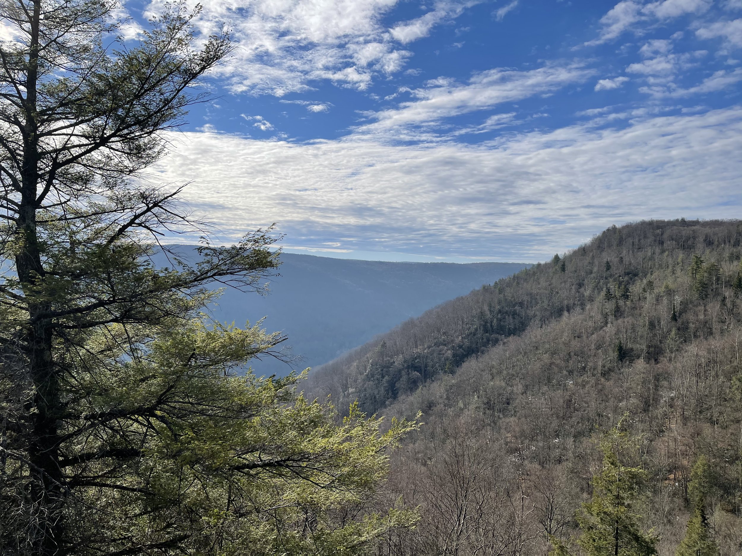 Image 2 of 5
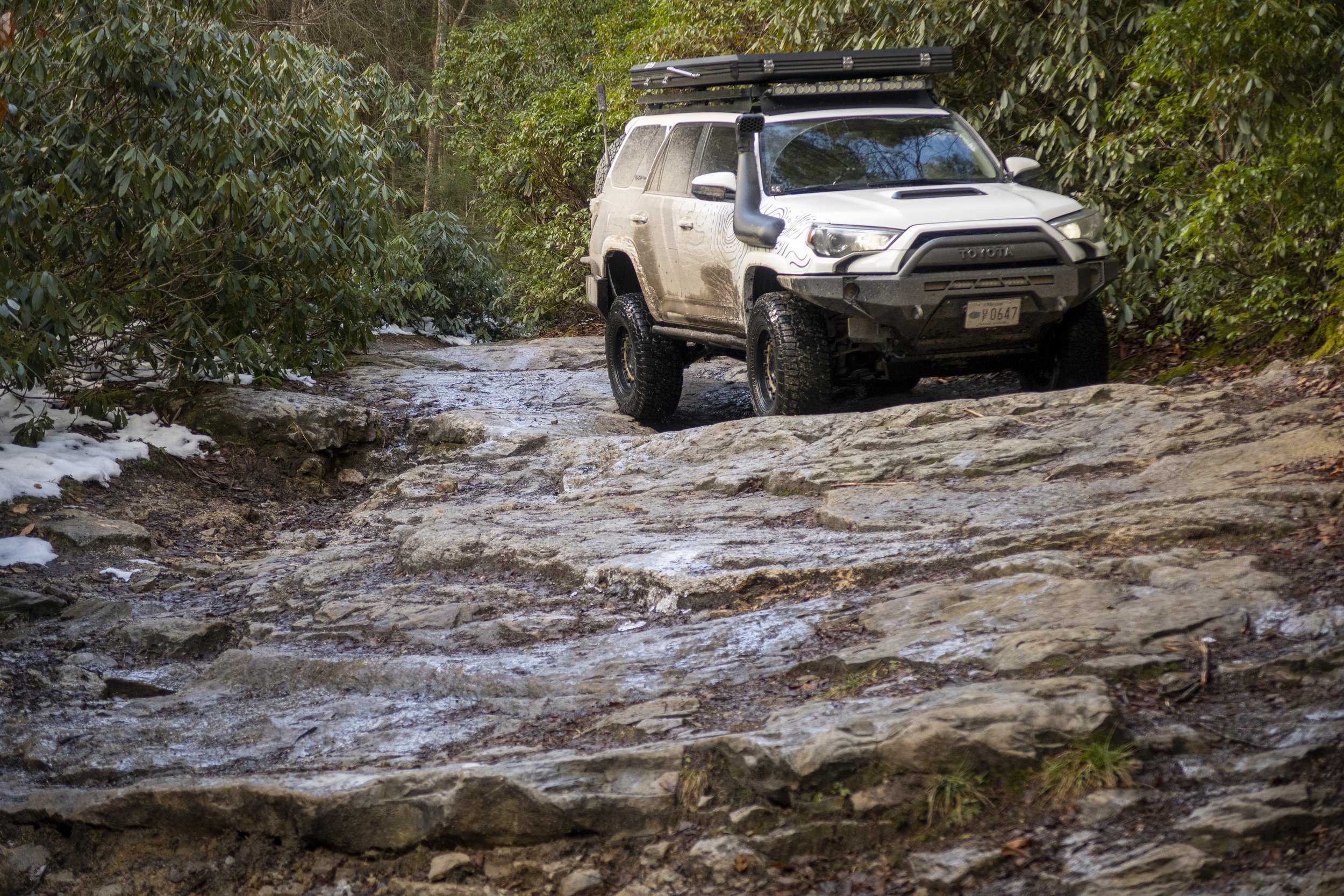 Image 3 of 5
 Image 4 of 5
 Image 5 of 5
Don’t want to go through the process of planning a personalized trip? Then our pre-packaged trips are for you!
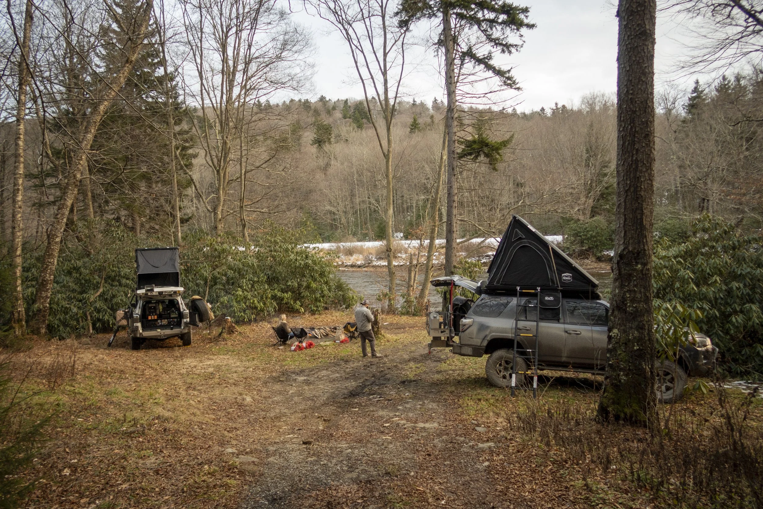
This is a 2 day, 1 night route through Eastern West Virginia, starting near the town of Thomas, WV and ending near Harrisonburg, VA.
This route includes the well traversed Davis Loop and several dispersed campsite options on National Forest land as well as the well traveled Flagpole Knob. You can easily expand this out to a long weekend by either arriving to the area early or sticking around afterwards. The route is perfect to integrate with one or more sections of the Mid-Atlantic BDR as well.
You’ll receive a GPX file of the route, marked with points of interest as well as a PDF with further details and considerations. The GPX file can be viewed with several different applications that allow offline map downloads (strongly recommended)
This route is accommodating of most stock SUVs and mid-size to full size trucks that are equipped with low range and all terrain tires. Conditions will range from dirt, gravel, and rocky trails to paved and gravel commonly traveled roadways. With that being said, depending on the season, you may encounter obstacles or trail conditions that are impassable and may be required to find alternate routing. Campsites marked on the map may be closed, or otherwise occupied, so always have a back up plan!
If you feel unsafe about anything you see or experience during the route, do not proceed. Following the provided route and camping at the marked campsites are all at your own risk. We are simply providing a suggested route and suggested locations for camping, the final decision whether to go or not, as well as what to do when you’re there falls to you.
Map Photo Credit: OnX OffRoad/Mapbox
Don’t want to go through the process of planning a personalized trip? Then our pre-packaged trips are for you!
This is a 2 day, 1 night route through Eastern West Virginia, starting near the town of Thomas, WV and ending near Harrisonburg, VA.
This route includes the well traversed Davis Loop and several dispersed campsite options on National Forest land as well as the well traveled Flagpole Knob. You can easily expand this out to a long weekend by either arriving to the area early or sticking around afterwards. The route is perfect to integrate with one or more sections of the Mid-Atlantic BDR as well.
You’ll receive a GPX file of the route, marked with points of interest as well as a PDF with further details and considerations. The GPX file can be viewed with several different applications that allow offline map downloads (strongly recommended)
This route is accommodating of most stock SUVs and mid-size to full size trucks that are equipped with low range and all terrain tires. Conditions will range from dirt, gravel, and rocky trails to paved and gravel commonly traveled roadways. With that being said, depending on the season, you may encounter obstacles or trail conditions that are impassable and may be required to find alternate routing. Campsites marked on the map may be closed, or otherwise occupied, so always have a back up plan!
If you feel unsafe about anything you see or experience during the route, do not proceed. Following the provided route and camping at the marked campsites are all at your own risk. We are simply providing a suggested route and suggested locations for camping, the final decision whether to go or not, as well as what to do when you’re there falls to you.
Map Photo Credit: OnX OffRoad/Mapbox